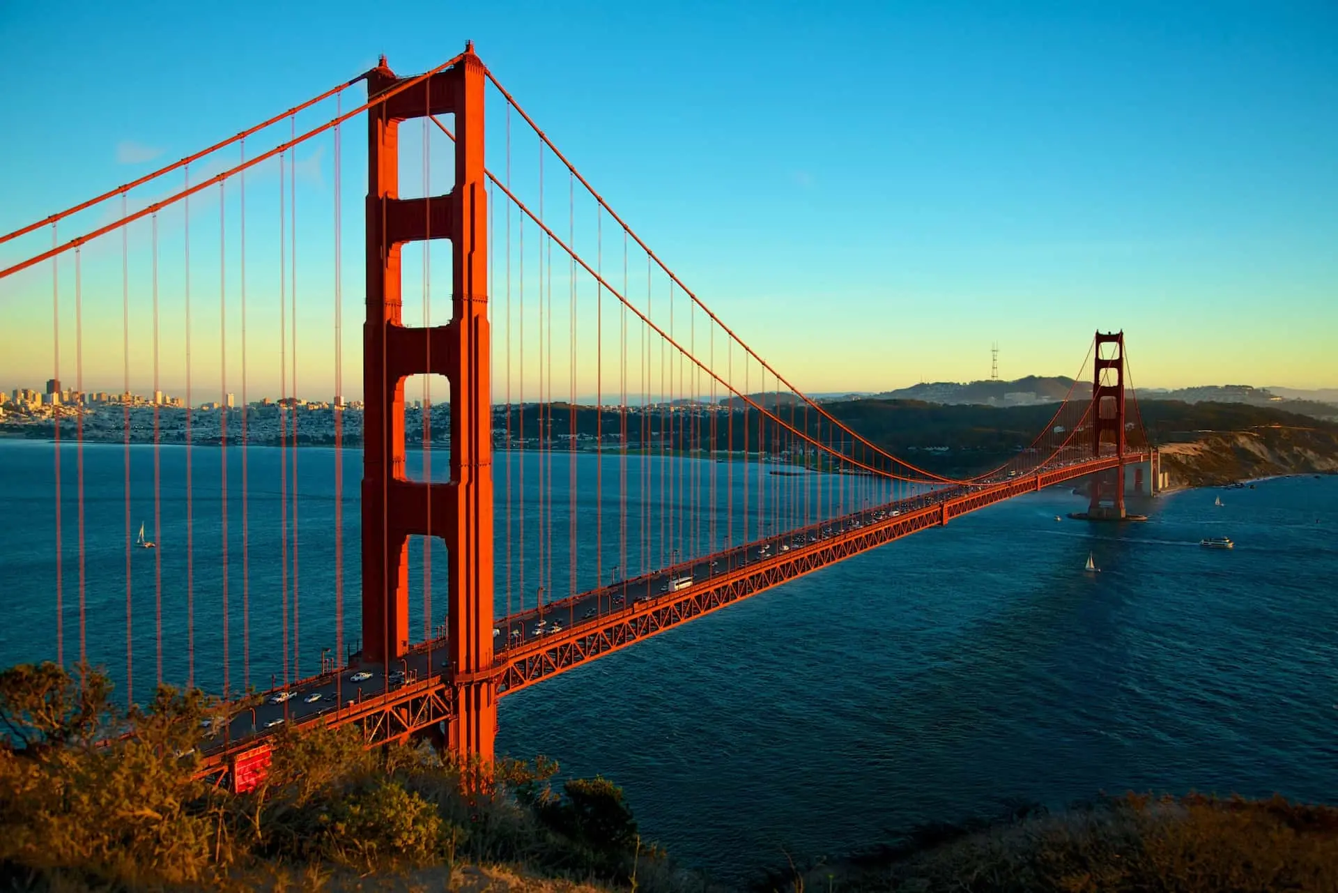
Trip Planner:   USA  /  Tennessee  /  Spencer  /  Piney Creek Falls

Piney Creek Falls, Spencer

4.7
#123 of 140 in Nature in Tennessee
Waterfall · Hidden Gem · Nature / Park
Create an itinerary including Piney Creek Falls
Piney Creek Falls is located in Spencer. Make Piney Creek Falls a centerpiece of your Spencer vacation itinerary, and find what else is worth visiting using our Spencer trip planner.
Create a full itinerary - for free!

Piney Creek Falls reviews

Rate this attraction
TripAdvisor traveler rating
TripAdvisor traveler rating 4.5
15 reviews
Google
4.8
TripAdvisor
  • Best time to view this falls is before evening. The setting sun faces this fall, making getting great photos a little difficult. There is also a nice small suspension bridge nearby to cross as... 
    Best time to view this falls is before evening. The setting sun faces this fall, making getting great photos a little difficult. There is also a nice small suspension bridge nearby to cross as...  more »
  • The falls were extremely beautiful. When my husband and I started our hike, it was fairly simple. When we got to the sign for the loop, we took it right and were extremely grateful. Partly because....  more
    The falls were extremely beautiful. When my husband and I started our hike, it was fairly simple. When we got to the sign for the loop, we took it right and were extremely grateful. Partly because....  more »
Google
  • I had a long way back, so i didnot do the hike this time around. But this is how you can do it. Drive straight from the park entrance to the Falls Creek falls overlook. Then take the road that says Piney falls and Scenic loop. This road will take you straight to a point where you can see a sign for Piney falls overlook and suspension bridge. Take the suspension bridge trail past the bridge, to get views of the falls. It is a short hike. I am not sure you can get to the bottom of the falls though. Follow @ajitho.photography on instagram for more hike suggestions and places.
  • The falls are beautiful but the path down to the falls can be a bit difficult. My wife turned back and I went on. We had taken the path to the left which is suppose to be the easiest one. I went on to try and finish the loop. I made it both the upper and lower falls but the path past beyond the upper falls was hard to follow. I went about .5 miles beyond the upper falls but couldn't find a clear path back up. There was pretty steep cliffs all along what I assume was the trail. It started to get dark so I found an area I could make it up the embankment. I was no where near the trail. I found a 4 wheeler trail and it led to someone's private property. Luckily I was able to get my wife to swing by and pick me up. Also if you try and get there via Google maps put in 800 fire tower road into the GPS. It's not the exact address of the parking area but it will get you close.

Plan your trip to Spencer

  • Get a personalized trip
    A full day by day itinerary based on your preferences
  • Customize it
    Refine your trip. We'll find the
    best routes and schedules
  • Manage it
    Everything in one place. Everyone on the same page.